Topcon's newest geomatics releases, announced in October 2026, are not interchangeable. The Origo spatial positioning system is built for interior building layout, the CR-M2 mobile mapping system targets large-scale reality capture across corridors and infrastructure networks, and the HiPer S1 and V1 GNSS receivers serve connected field surveying. This guide breaks down what each tool does, according to the company's announcement materials, so you can match the right system to your next project.
Topcon's New Geomatics Tools: An Overview
The October 2026 announcements expand Topcon's Capture Reality portfolio of mass data solutions and its HiPer GNSS receiver line. Trade coverage of the launches describes three distinct additions: the Origo spatial positioning system, the CR-M2 mobile mapping system, and the HiPer S1 and value-priced HiPer V1 receivers. Each addresses a different stage or setting of the surveying and construction workflow — indoors, on the move, or in the open field.
Reporting on Topcon's presence at INTERGEO 2026 frames these launches as part of a renewed focus on geomatics and integrated workflows, with new functionalities supporting point cloud processing and specialized applications such as utility mapping, forestry analysis, road feature extraction, and 3D visualization using Gaussian Splatting techniques. The CR-M2's launch also follows a strategic partnership with GreenValley International (GVI) for surveying, mapping, construction, and spatial intelligence applications.
Topcon Origo: Precision for Interior Layout
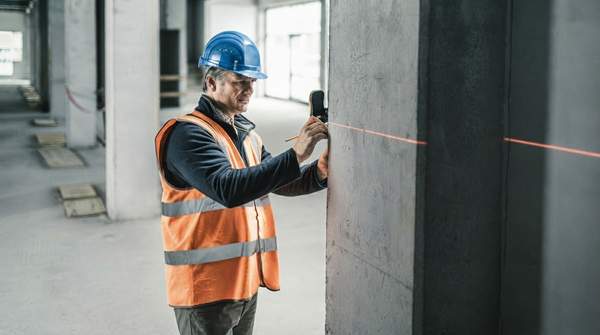
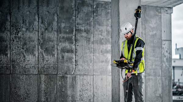
Origo is a spatial positioning system designed for interior building layout, supporting the accurate placement of points according to project requirements. Its defining technical approach is reference-map-based positioning with a fixed origin, which maintains a consistent project reference while reducing reliance on the direct line of sight required by traditional optical or laser layout methods, according to Topcon.
That line-of-sight reduction is the practical differentiator for indoor work, where walls, installed systems, and active trades can obstruct conventional instruments. The hardware configuration reinforces the indoor focus: Origo combines a scanner and controller on a single rover pole, making it completely mobile with no leveling required. For crews laying out interior points on active job sites, the announcement positions Origo as an alternative to optical methods rather than a replacement for outdoor survey instruments.